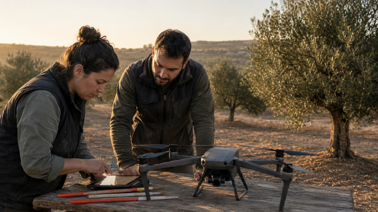
The problem before the aircraft
Overlap, precision, ground control and processing. Selection starts with the deliverable, the environment and the level of precision; Then the sensor, platform and operation are chosen.
Capabilities that matter
- Sensor and data quality.
- Stability, positioning and repeatability.
- Autonomy and redundancy.
- File flow and traceability.
- Training, operational category and geographical area.
Before accepting the order
Before accepting a job, confirm the operational scenario, training, permits, insurance, procedure and accuracy required for the deliverable.
How to evaluate a platform
Compare first the required result, then the sensor compatibility and finally the total cost: batteries, software, training, insurance, maintenance and processing time.
Official sources and consultation
The DroneBase Rule
If a decision depends on the specific location, the marking of the drone or the type of operation, always confirm the case with CAA and CAA airspace alerting guidance before taking off.